Sous la Tune de l'Ours
Add to my favorites


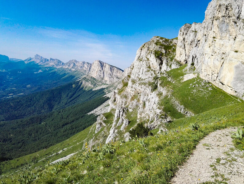
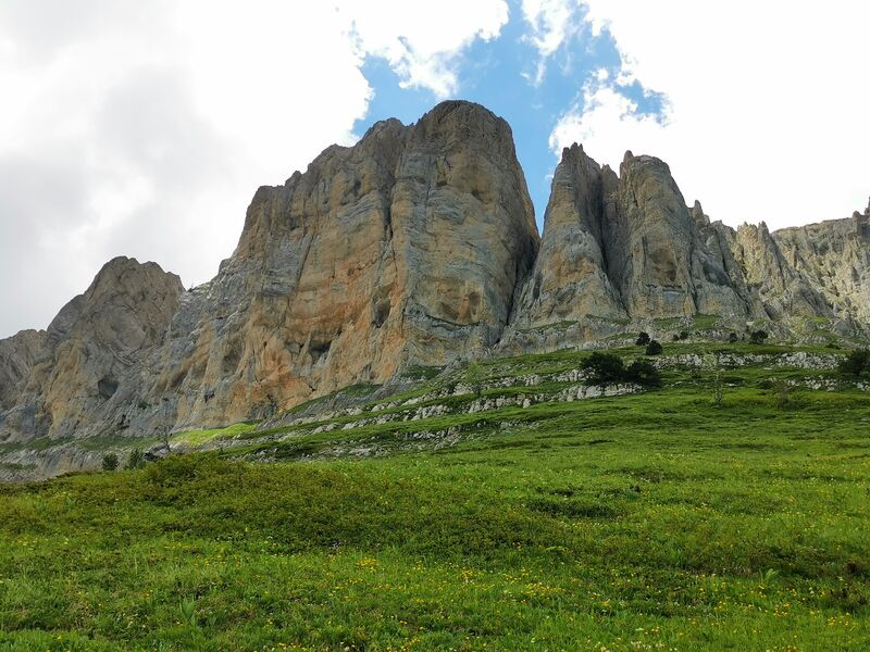
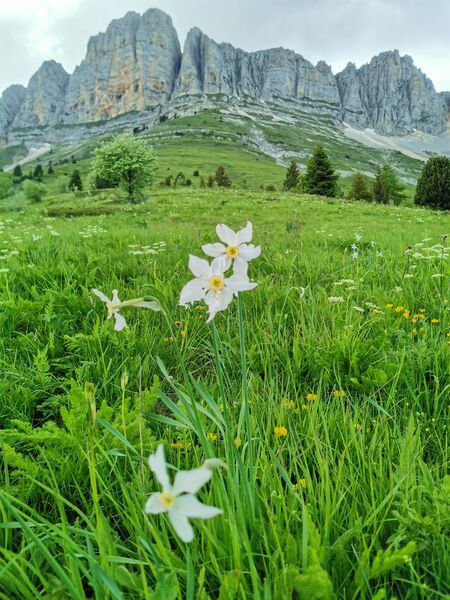
Cette belle randonnée en boucle vous fera découvrir le balcon Est du Vercors et ses impressionnnantes falaises seulement accessibles par quelques pas historiques.
Route labeled FFRandonnée

The characteristics of the route.

Saint-Andéol (38)
- Distance 8.3 km
- Elevation gain 600 m
- Elevation lost 600 m
- Min. elevation 1027 m
- Max. elevation. 1598 m
- Duration (depending on pace) 4h30
- Marking Yes
Equipments : Car park, Admission fee : Free access.Opening : All year round.
Subject to favorable weather.
Area : Trièves
Report a problem 1 comment
Website Pdf file Features of the application :
- Location and orientation on detailed maps thanks to the GPS of your smartphone
- Description of routes and points of interest on the route
- Photo gallery by route
- Detailed elevation profile
- Route tracking alert to warn you if you stray from the route
- Send predefined messages by SMS to your contacts
- Emergency module: trigger a call or send an emergency SMS in case of problem
- Agenda: access to events organized in the department
- News: find in the application the latest news on the web portal
- Adding achievements
- Add reports in case of problems encountered on the routes
- Share on social networks
Add your time and share your feelings
Services nearby

Refuge La Soldanelle
Château-Bernard

Bureau d'Informations Touristiques de Gresse en Vercors - Office de Tourisme du Trièves
Gresse-en-Vercors

Foyer nordique de Gresse-en-Vercors
Gresse-en-Vercors
Foyer de ski de fond des Hauts Plateaux
Corrençon-en-Vercors

Atelier Gilioli
Saint-Martin-de-la-Cluze


Follow us on
the digital trails
the digital trails


![]()
The Isère Outdoor application was created
by the Département de l'Isère
Infos & contact
Conseil départemental de l'Isère
7 rue Fantin Latour
CS 41096
38 022 Grenoble cedex 1
Tel. 04 76 00 38 38


OK
Annuler