Show the map
OFFICIAL ROUTE
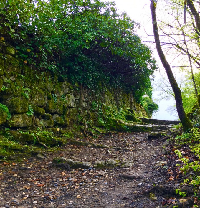
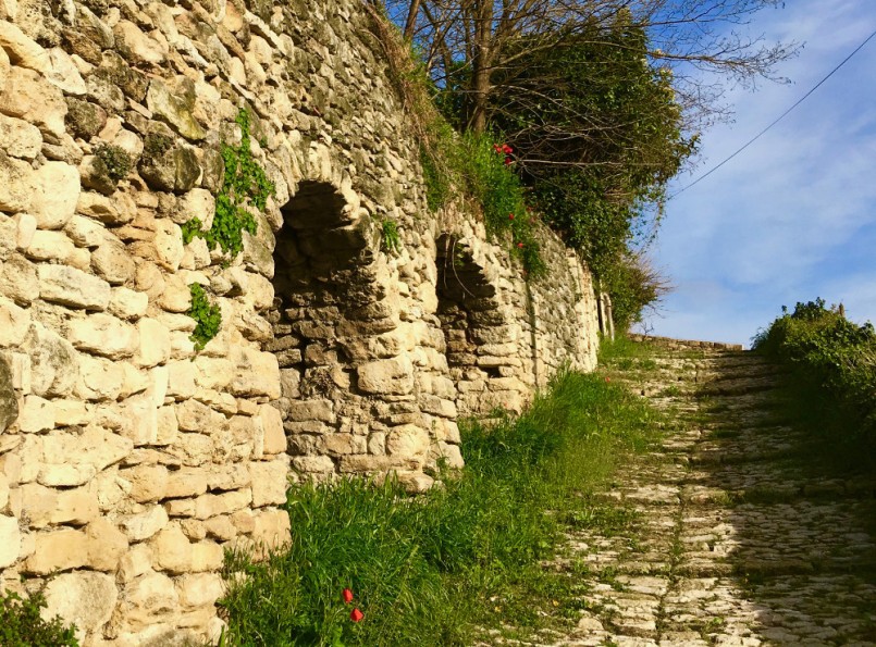
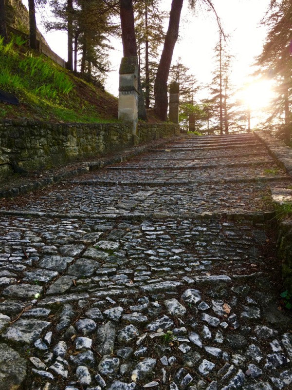
Circuit 2 vert - Forcalquier Trail urbain


8 km
230 m
240 m
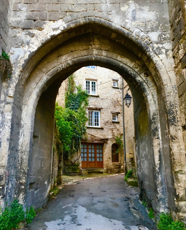
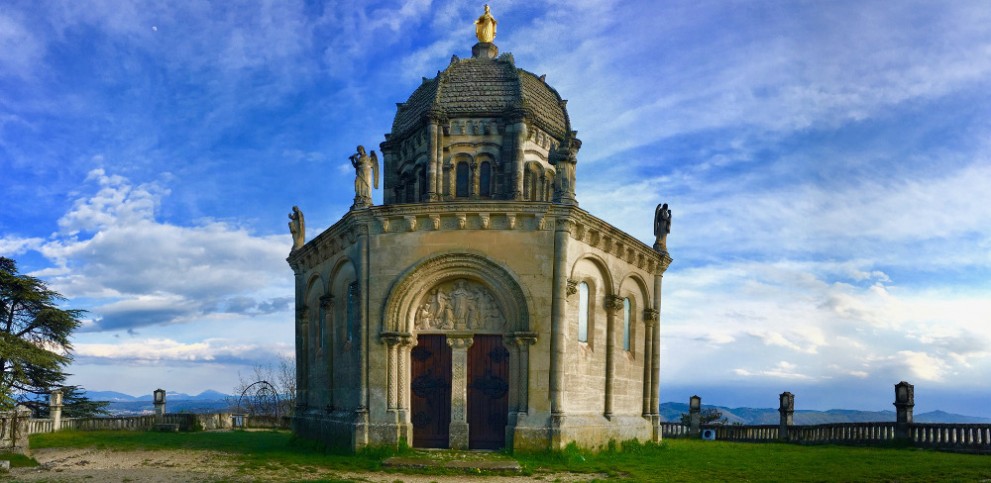
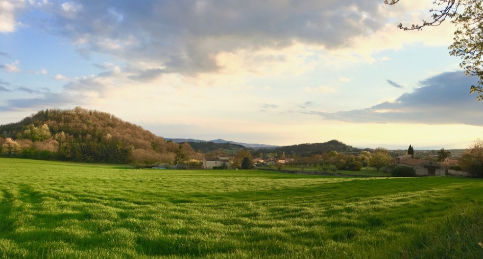
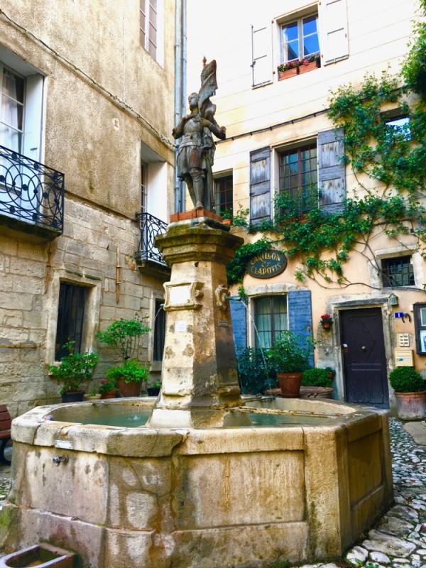
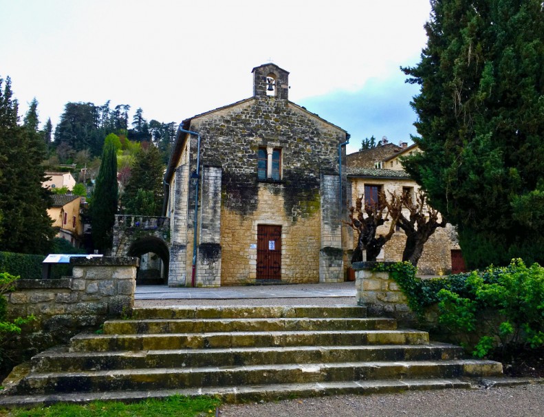
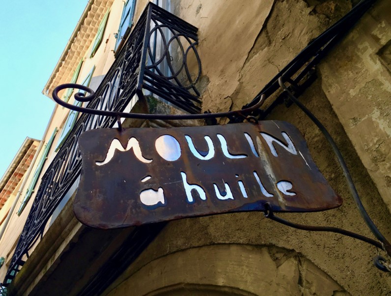
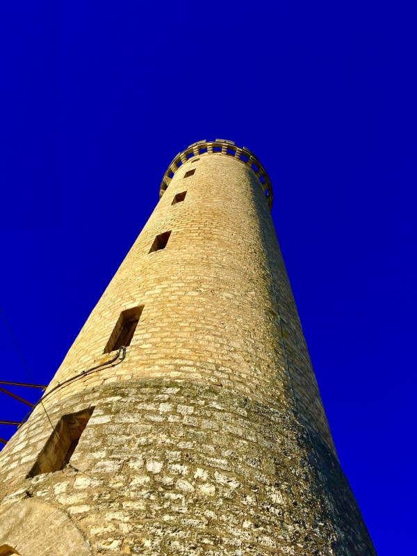
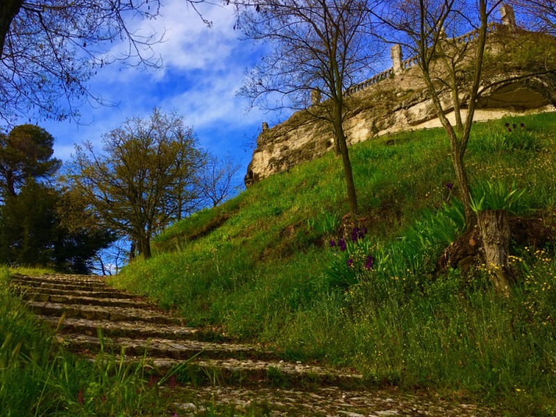
 Forcalquier (04)
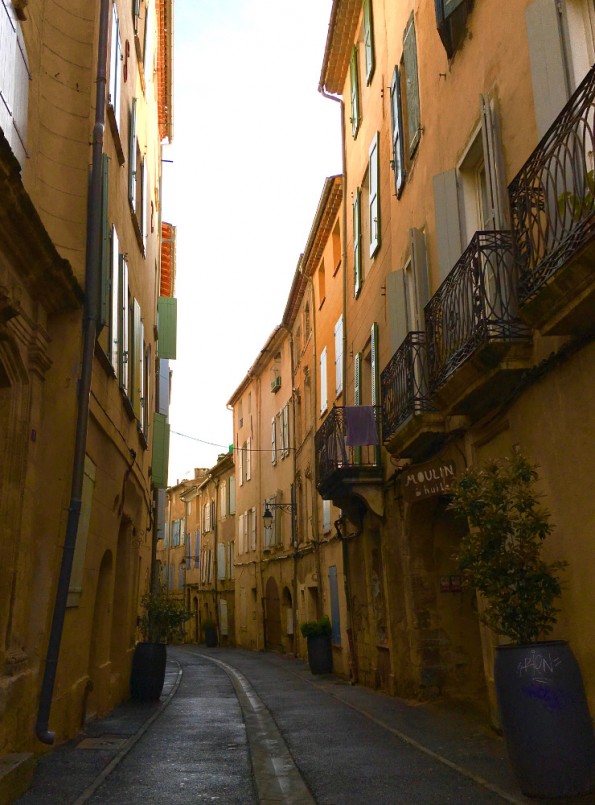
Points of Interest table
| Accum. | Intermediary | |||||||
|---|---|---|---|---|---|---|---|---|
| POI | Description | Alt. | Dist. | D+ | D- | Dist. | D+ | D- |
Trace n°35366
Ascent threshold : 3 m Distance threshold : 30 m Smoothing : Yes Origin of altitudes : MNT IGN
Ascent threshold : 3 m Distance threshold : 30 m Smoothing : Yes Origin of altitudes : MNT IGN
Loop
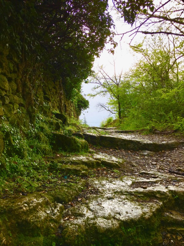
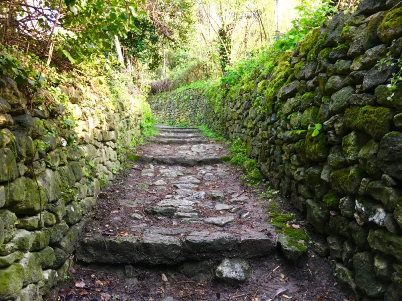
Dominant terrain : Path
Max alti. : 620 m
Avg alti. : 547 m
Min alti. : 518 m
Longest ascent : 110 m
Longest descent : 80 m
Route completed by the author : Yes
Dominant terrain : Path
Max alti. : 620 m
Avg alti. : 547 m
Min alti. : 518 m
Longest ascent : 110 m
Longest descent : 80 m
Route completed by the author : Yes
More tools
Create a new roadbook page
Map and track on your website
Warning ! When you insert a Trace de Trail map on your website, you agree not to hide any element of the module (links to Trail Trail or Trail Connect banner)
Add a realisation
Validate
Add a realisation to share your chrono and describe the conditions that you encountered during you trail running !
Add a comment
Validate
Show the infos
Add a track


