
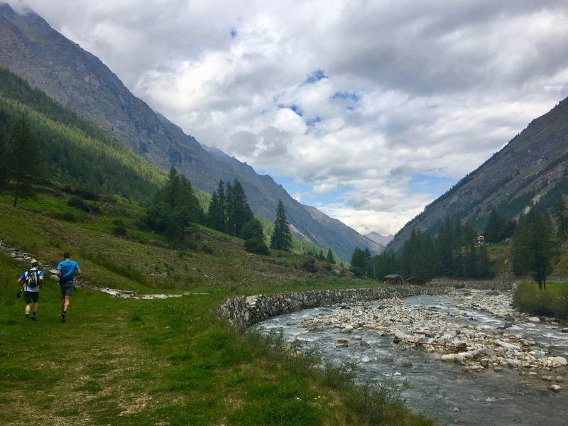
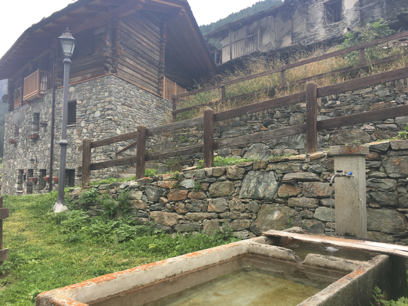
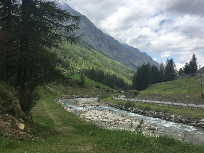
Discover the charm of the Valsavarenche valley with this itinerary which takes place entirely in the valley and explores several villages: Dégioz, Vers le Bois, Créton, Maisonnasse, Eaux-Rousses, Bien, Nex and Tignet. You will enjoy landscapes shaped by the agro-pastoral activity of the valley and discover the typical and authentic architecture of the alpine villages. In particular in the village of Nex, you will be able to admire chalets dating from the 15th and 12th centuries as well as old decorative elements on certain buildings, well preserved. These villages, which are now only inhabited for part of the year, were formerly densely populated and now bear witness to the civilisation of the Alpine populations.

- Distance 12.4 km
- Elevation gain 620 m
- Elevation lost 620 m
- Min. elevation 1500 m
- Max. elevation. 1832 m
- Duration (depending on pace) 1h30 à 3h
- Marking Trail-running signs n°A


Coming to Valsavarenche
![]()
Info & contacts
Comune di Valsavarenche
Loc. Dégioz, 166
11010 Valsavarenche (AO)
Tel. (+39) 0165 905703

