
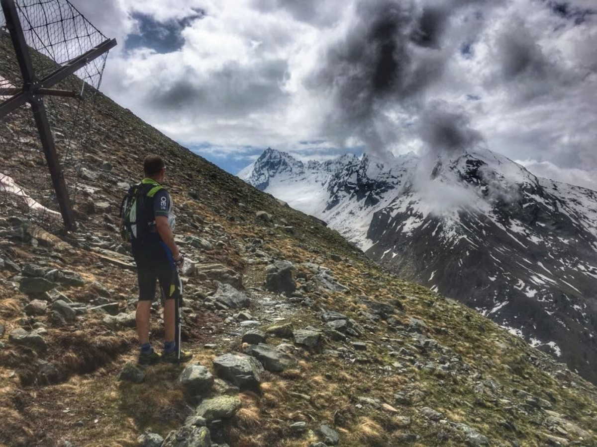
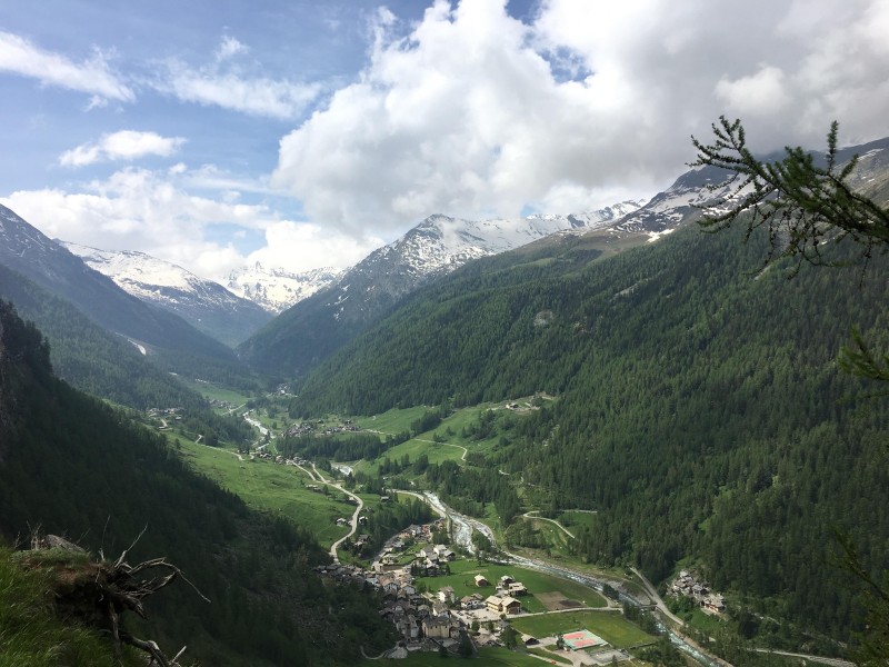
This loop, starting from the village of Dégioz, administrative centre of the Valsavarenche, will take you to the foot of the Grivola, the second most famous peak in the valley (3969m). You will first reach Bocconière, a former mountain pasture now used by the National Park rangers and a magnificent viewpoint over the valley. You will continue with a steep climb up to the avalanche barriers before descending to the Lévionaz plateau, an authentic wonder of the Valsavarenche! A site of green pastures, much frequented by herds of chamois and ibex. In the past, the inhabitants of Valsavarenche used to come here to hunt game and pick flowers with medicinal properties. Today these activities are forbidden, as the valley is in the heart of the Gran Paradiso National Park. In this wild environment, in addition to admiring the landscape, you will have the opportunity to observe many animals. You will then descend through a larch and spruce forest to return to Dégioz.
- Distance 11.8 km
- Elevation gain 1170 m
- Elevation lost 1160 m
- Min. elevation 1533 m
- Max. elevation. 2573 m
- Duration (depending on pace) 1h45 à 3h45
- Marking Trail-running signs n°G


Coming to Valsavarenche
![]()
Info & contacts
Comune di Valsavarenche
Loc. Dégioz, 166
11010 Valsavarenche (AO)
Tel. (+39) 0165 905703

