
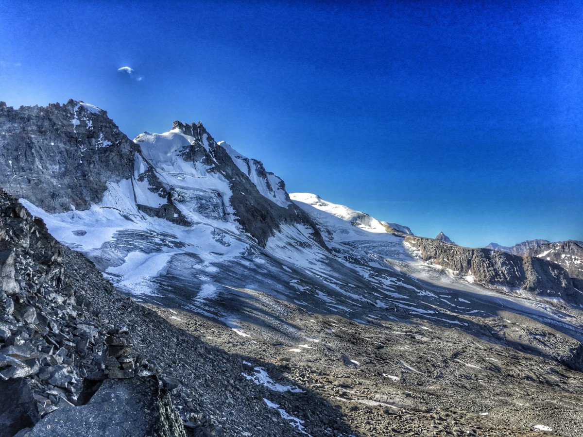
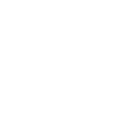
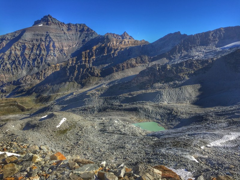
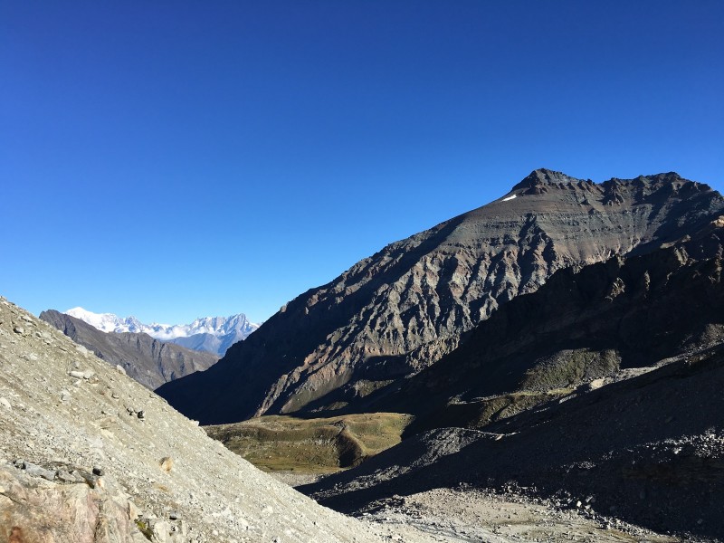
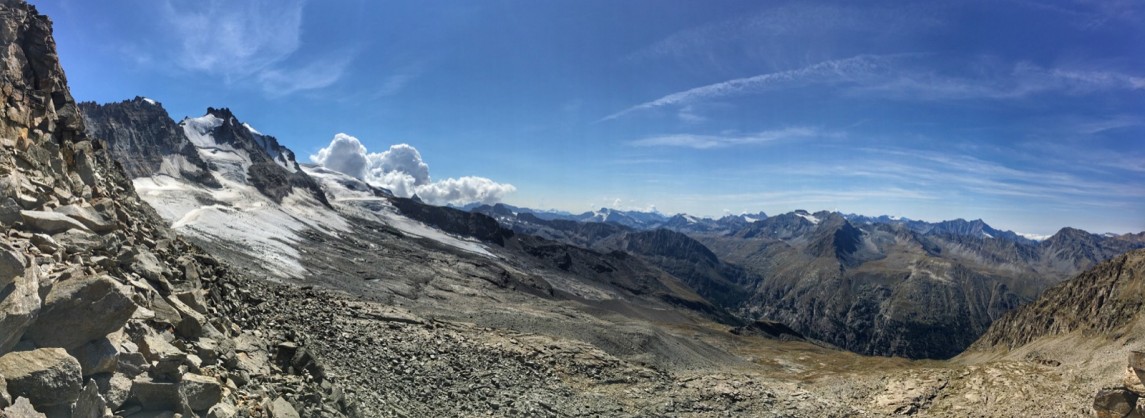
This route, as technical as it is beautiful, will make you appreciate the high mountain side and the wild character of the Valsavarenche valley. After a first part in common with the tour "Au pied de la Grivola" (route G), you will go up the Lévionaz valley, in the direction of the Grand Neyron passage to cross the wild and little frequented Enfer valley. Here, you will be in the company of eagles, marmots, ibexes and chamois. And with a bit of luck, you may even see some bearded vultures... You will then arrive at the foot of the majestic Herbétet mountain (3,778 m) from where, from a glacial lake, you will begin the ascent to reach the Grand Neyron passage which will offer you a superb view of the Grivola and the Grand Paradis, the two giants of the Valsavarenche. You will then have to make a final effort to return down to the valley and finish your outing with a good glass of Valley d'Aosta wine !
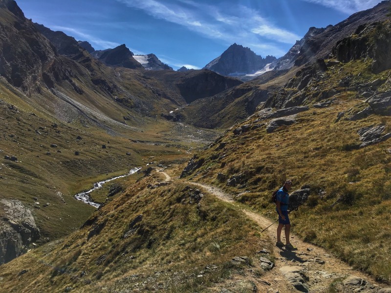
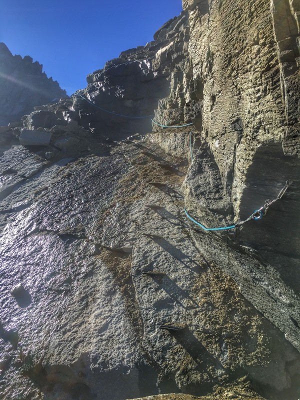
Warning : This itinerary is for experienced trail-runners with mountain experience. The ascent to the Grande Neyron pass is in a high mountain environment, with equipped technical passages (chains, iron stairs).
- Distance 28.5 km
- Elevation gain 2340 m
- Elevation lost 2340 m
- Min. elevation 1534 m
- Max. elevation. 3236 m
- Duration (depending on pace) 4h30 à 9h
- Marking Trail-running signs n°K
inalto_max
inalto_max


Coming to Valsavarenche
![]()
Info & contacts
Comune di Valsavarenche
Loc. Dégioz, 166
11010 Valsavarenche (AO)
Tel. (+39) 0165 905703

